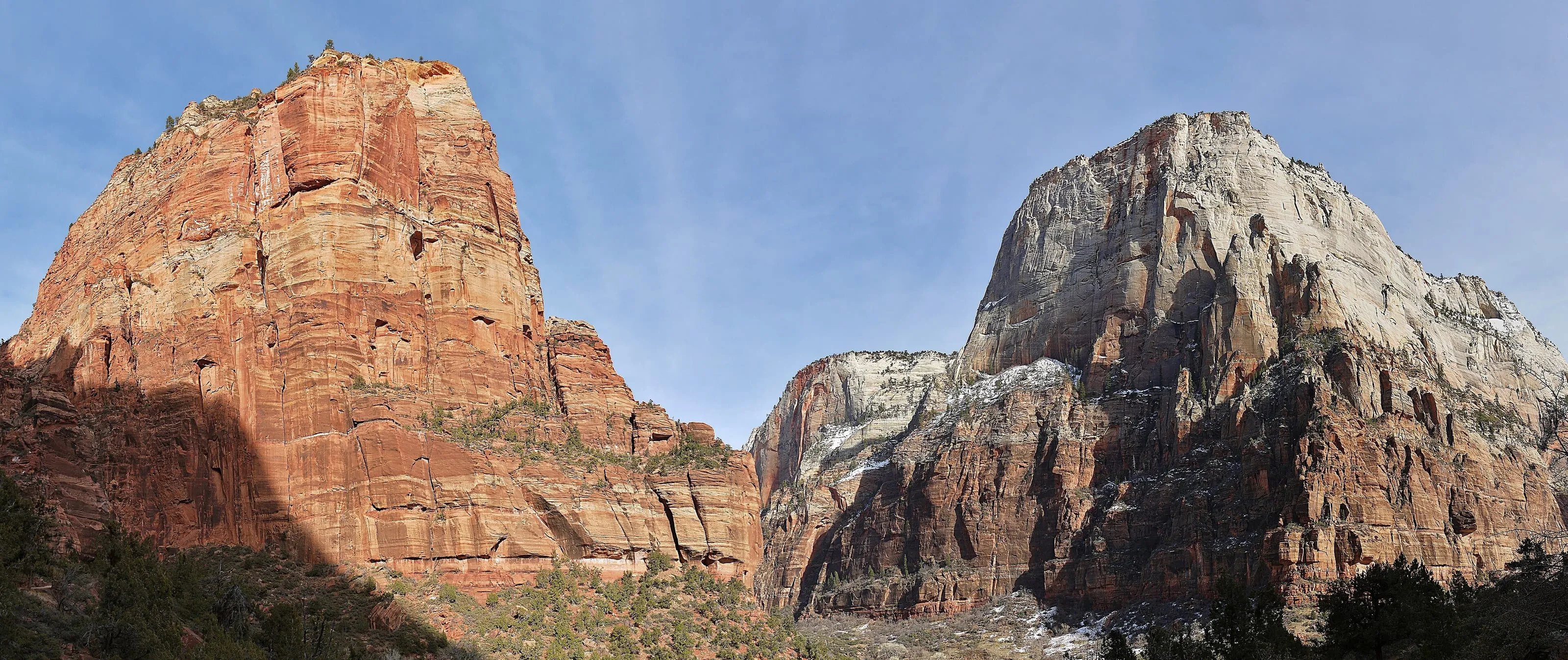
Óðinn · CC BY-SA 2.5 CA

Zion trails
Filter by what actually decides it - whether you need a permit you do not have, whether the drop-offs will stop you, whether you are walking in a river. Every entry says when we last checked it.
Find the right trail
Filters
Showing all 5 trails.
-
Canyon Overlook
One mile, an hour, and a view down the whole switchbacked canyon. The best return on effort in Zion — and the parking lot holds about twelve cars.
1 mi 163 ft Easy Drop-offs -
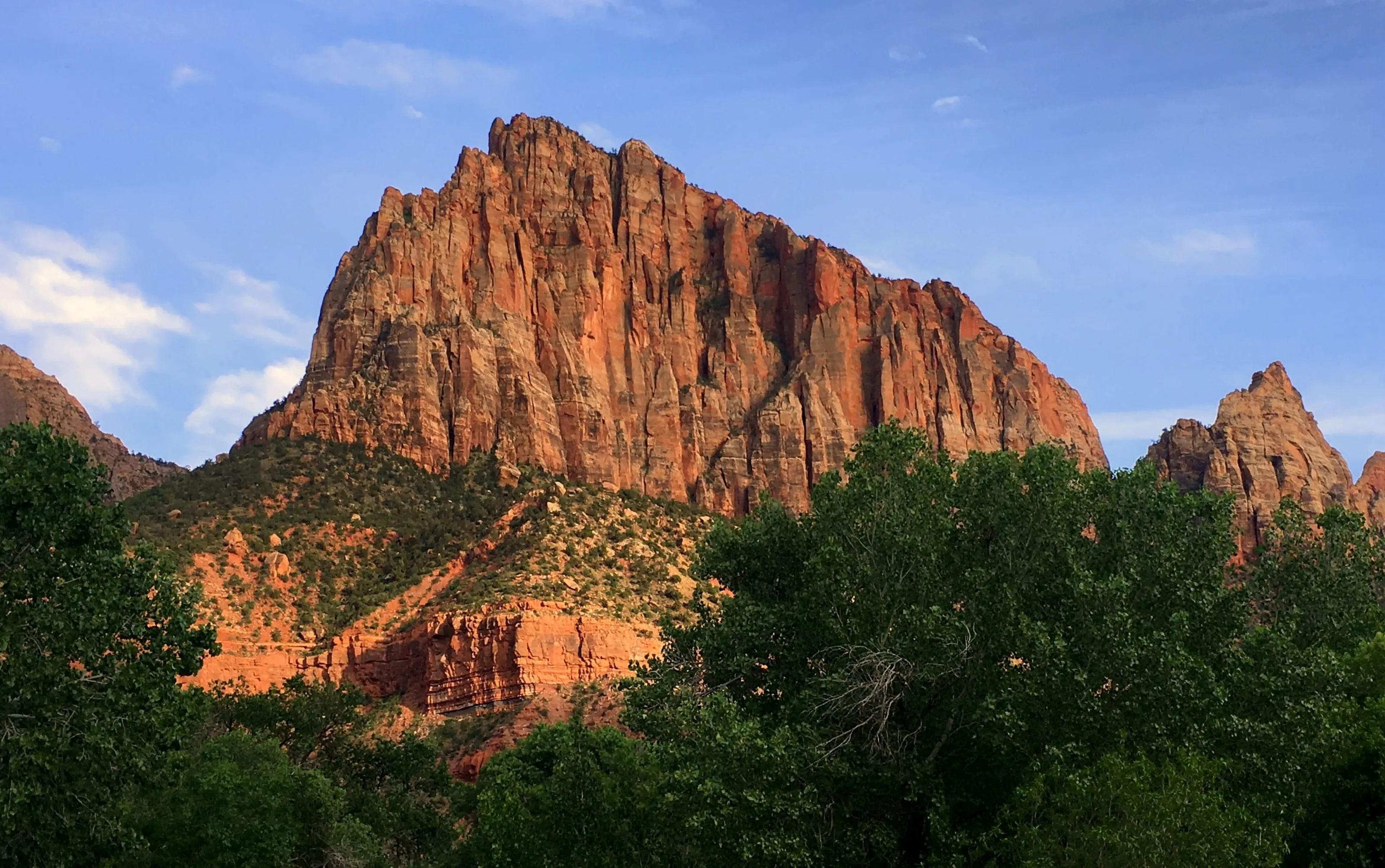
Watchman Trail
3.3 miles from the Visitor Center parking lot, no shuttle required, and almost nobody on it. The most overlooked hike in Zion because it starts at stop one.
3.3 mi 368 ft Moderate -
Angels Landing
5.4 miles, 1,488 feet, and a half-mile of chains along a fin with drops on both sides. The permit covers the last part, not the rest.
5.4 mi 1,488 ft Extreme Permit Drop-offs -
Observation Point
A higher view than Angels Landing, no permit, and no chains. The old route is closed and most sites still say the hike is — it is not.
6.6 mi 700 ft Moderate -
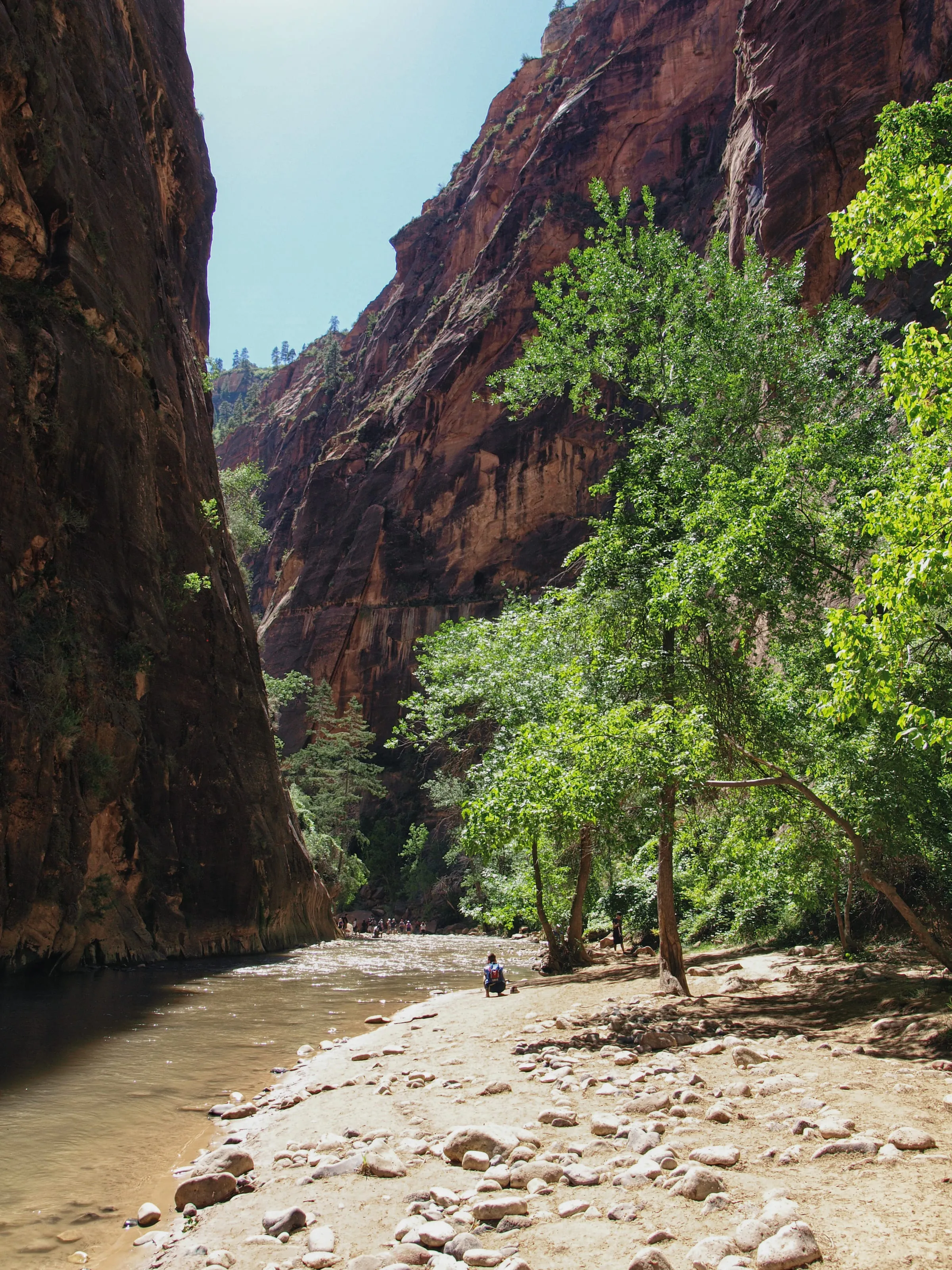
The Narrows, bottom-up
No permit, no trail. You walk up the Virgin River between thousand-foot walls until you have had enough, then walk back. Closes above 150 CFS.
9.4 mi 334 ft Strenuous
Nothing matches all of those at once. Try dropping one filter - in a canyon this narrow, most trade-offs are real.
The beach sheet, and word when things change
Every beach on one page — parking, snorkeling, crowds, and the things that catch people out. Made to print in black and white and live in a beach bag, where there's no signal anyway.
Send us an address and we'll email you the PDF, then tell you when something on the island actually changes — a restaurant reopening, a ferry fare moving, a road closed. That is the whole list. It is the same checking that goes into the pages, sent to you instead of waited for.
Or skip the form entirely and open the sheet in your browser — it is free either way, and always will be.